
Paducah Neighbors by Record
Public records describe the ground around an address better than they describe every person there. MAP~GIS and the McCracken County PVA connect parcels to streets and recorded owners. A plat supplies the legal lot and block. City permit records add dated project context. Older city directories and Sanborn maps can place past households and structures in a specific year.
| Block source | What it shows nearby | How to reach it |
|---|---|---|
| MAP~GIS and PVA map | Addresses, approximate parcel lines, nearby lots, map context | Online gallery or PVA office |
| PVA parcel roll | Recorded owner, situs, tax mailing address, sale and structure clues | Qpublic target, phone, or visit |
| Clerk plat and deed | Legal lot, block, easement, alley, and title | eCCLIX, clerk vault, request, or archive |
| City permits | Project, applicant, contractor, inspection, and site activity | EnerGov or city records request |
| Historic directories and maps | Dated household and building context | Library and Library of Congress |
Choose the source for the scale of the question. The lots beside a corner parcel may sit on two streets. A river-facing, alley-facing, church, school, vacant, or industrial parcel may not have the household entry that its street number seems to promise.
Time is part of the scale too. A current parcel roll answers a different question from a city directory, dated aerial, or Sanborn sheet. Write the year beside each result. That small habit prevents an older owner, demolished structure, or former street number from being presented as current block information. It also makes later clerk and library requests much more precise.
Map a Paducah Block
The city and county GIS materials publish boundaries, addresses, property lines, transport routes, utilities, and Street View context. Their lines are illustrative. A deed and plat control the legal description, so use the map to find records, not to settle an exact boundary.
- Search the starting street address and record its situs, parcel number, and visible cross streets.
- Select or search each lot that shares an edge, corner, alley, or street face with the starting parcel.
- Open the PVA record and separate the property address from the tax mailing address.
- Check the deed or plat when a parcel split, easement, or uncertain line changes the block.
- Add only the permit, directory, or historic-map facts needed for that dated question.
The live MAP~GIS controls for a buffer or one-click adjacent-parcel tool were not verified. Do not promise that function. Walk outward parcel by parcel. For a full named-street chain, use the Paducah street directory workflow.
Paducah Addresses Mean Different Things
A parcel record can display several location clues. The situs address marks the land or structure. The tax mailing address tells where a bill is sent and may belong to a trust, lawyer, post-office box, or out-of-county owner. A legal description uses lot, block, plat, or boundary language that can survive a street-number change.
- Parcel
- A unit of land tracked for mapping, assessment, and title.
- Situs address
- The street location assigned to the parcel or structure.
- Plat
- A recorded drawing that lays out lots, blocks, streets, alleys, or easements.
- Legal description
- The deed language that identifies the land even when a street label changes.
This distinction prevents a common block-search error: a named owner at a situs is not automatic proof of occupancy. A matching tax mailing and property address may support an owner-occupancy clue, but it remains a clue.
Paducah Neighborhood Map Context
The City of Paducah publishes an official neighborhood page and a 2024 map covering Northside, Southside, and named communities. It helps place one block inside a civic or planning area. A neighborhood label is not a deed boundary, parcel line, ZIP code, or proof of association membership.
The Paducah neighborhoods page is the verified city source.
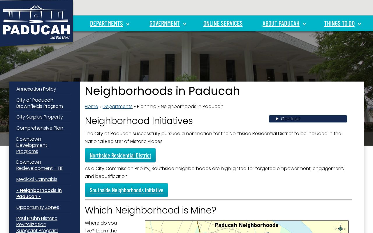
Use the city map to name the wider community, then return to the parcel, deed, and cross streets for the exact block. The research did not locate a verified public roster for neighborhood associations or homeowners groups.
Paducah Community Directory Gaps
No official Paducah association membership directory, roster, umbrella organization, meeting list, or public contact catalog was independently verified. That gap matters. Do not invent a group or treat a neighborhood map as a list of its residents.
City Planning
Ask about the official neighborhood map, planning records, and any current public civic contacts held by the city.
McCracken County Public Library
Ask for subject files, newspapers, photographs, local archives, and the Genealogical-Historical Society collection.
McCracken County Clerk
Use plats, deeds, easements, and recorded instruments to define the legal block.
The library is the strongest verified community-memory fallback. Its collection combines local directories, census microfilm, newspapers, family files, images, wills, deeds, and selected court material. A staff lookup can be useful even when no public name index appears online.
Bring staff a street address, cross street, parcel or deed clue, and a tight date range. Ask separately for Paducah, McCracken County, Jackson Purchase, African American genealogy, and subject-file material when those categories fit. A catalog record may identify a collection without exposing its names online, so an on-site check is a real access channel rather than a last guess.
Paducah Block Permit Clues
Paducah's EnerGov public route can add a dated project or code record to a block study. A permit may name an owner, applicant, contractor, architect, project, inspection, or site. Each role must be read as labeled. A contractor appearing on several nearby projects is not one of the households.
If an online search fails, contact the city records custodian with a precise street address, date span, project type, and record description. Kentucky's Open Records Act route applies subject to exemptions. This fallback is more reliable than guessing from a search that returned no hit.
- Record the exact address and parcel.
- Keep the permit or case date.
- Identify each person's stated role.
- Check attachments only when public.
- Do not convert a project contact into an occupant.
Historic Paducah Neighbors
Historic households must be tied to a year. McCracken County Public Library holds Paducah city directories from 1859 forward with gaps, plus census microfilm, newspapers, family files, and photographs. Street or reverse sections can connect an address to a household when the relevant volume has that arrangement.
Library of Congress Sanborn maps cover Paducah from 1906 through July 1950 across 80 sheets. They show structure footprint, use, materials, alleys, and street context, not occupants. PVA materials add 1950s historic property photos and dated aerial layers from 1938, 1950, 1952, 1964, 1981, 2001, 2008, and later imagery.
Use the deed's legal description and cross streets to bridge a number that does not match. Exact citywide renumbering and annexation tables were not located. A person next door in 1894 may not be next door in 1950 or today because lots, streets, structures, and uses change.
Paducah Voter Block Limits
Kentucky rules describe a street-order voter list that can include a voter's name, address, age code, party, gender, ZIP, and five-year participation history. That controlled product is not the same as the consumer Voter Information Center. The SBE-84 request form restricts eligible requesters, purpose, scope, format, commercial use, and resale.
A ballot choice is never shown. The public lookup asks for legal first name, last name, date of birth, and optional last four Social Security digits. It is meant to confirm a known person's current record, not expose every Paducah neighbor on a block.
Safe at Home may substitute a state address in public and voter records. Never compare other files in an attempt to uncover the physical address of a protected participant.
Official Paducah Neighbor Sources
Official sources are narrower than commercial neighbor tools, but their role and keeper are clear. Category-level compilations can merge old phone, marketing, parcel, and other feeds. They may be stale or blend two people with the same name.
| Question | Official roll or map | Commercial compilation |
|---|---|---|
| Who owns the parcel? | PVA and deed show the recorded owner | May repeat an old or mixed source |
| Where is the lot? | GIS locates it; deed defines it | Map method may be unclear |
| Who lives there now? | No single official roll proves every occupant | A displayed name still needs verification |
| How is an error fixed? | Contact the named custodian | Use the service's correction or suppression process |
Use the least amount of personal data needed. A wrong commercial entry should be corrected there, while an incorrect PVA, deed, permit, or voter source must be addressed with its official custodian.
Protect Your Paducah Neighbors
Utility accounts, delivery records, private membership lists, and unverified household rosters are not part of an open block search. Court, voter, vital, juvenile, adoption, and other records may also be sealed, restricted, or redacted. Stop when the lawful purpose is met.
Geographic curiosity can be answered with parcels, plats, maps, public permits, and dated history without building a personal dossier. Owners are not always occupants. Applicants are not always owners. A neighborhood name does not establish who belongs to a group.
Keep copies organized by office and date. If a parcel name or address is wrong, the PVA asks for written proof such as a deed, will, death certificate, or Affidavit of Descent. A map-line concern may require the deed or survey rather than an online-map correction. Direct each error to the custodian that owns the source.
Lawful use. Learn about a Paducah block for civic, historical, or personal safety reasons. Never stalk, harass, intimidate, or reveal a protected address.