
Paducah ZIP Evidence by Area
Official evidence supports three different kinds of Paducah ZIP references. Census profile material associates ZCTA 42001 and 42003 with the city. Current USPS facility listings also use those codes. A separate USPS release used 42002 for an operational facility address in 2018, but current facility listings differ. That makes 42002 a legacy or operational clue, not a code to assign to every current residential address.
| ZIP | Areas Covered | Post Office Evidence | Notes |
|---|---|---|---|
| 42001 | Paducah portions and standard service area | Carrier Annex and Avondale listings | ZCTA is not an exact delivery line |
| 42002 | Current residential coverage not established | 2018 operational facility evidence | Verify each address with USPS |
| 42003 | Paducah portions with main office and Southside routing evidence | Paducah Post Office and Southside listings | Exact streets need address lookup |
The Paducah ZIP code directory therefore records verified evidence rather than claiming a complete postal boundary map. ZIPs organize delivery. They do not follow every neighborhood, parcel, or city-limit line.
The facility evidence also helps explain the two main current routing patterns. USPS lists the Carrier Annex at 3550 Park Plaza Road with a 42001-9998 form and Avondale at 2927 Broadway with 42001-9997. The main Paducah Post Office appears at 300 South 4th Street with 42003-9998, while Southside appears at 3160 Irvin Cobb Drive with 42003-0300. Those extended codes identify postal facilities and routing forms. They are not proof that every nearby house shares the same base code, so the street-level USPS result still controls.
Verify a Paducah ZIP Address
The USPS ZIP Code Lookup is the authoritative address-level check. Its By Address mode accepts an optional company, required street address, optional unit, city, state, and ZIP. By City and State returns city-level ZIP information. Cities by ZIP reverses the question. USPS also warns that a valid postal result does not confirm that a person or business occupies the address.
| Mode | Required Input | Useful Result |
|---|---|---|
| By Address | Street address, with place details | Standard delivery form and ZIP |
| By City and State | City and state | ZIPs associated with the named place |
| Cities by ZIP | ZIP | Postal city names tied to the code |
Keep the standardized street suffix and unit. A missing apartment or changed street number can send later searches to the wrong parcel. For historical work, preserve the unverified old form too, since a directory or deed may use it.
Why Paducah 42002 Is Different
USPS evidence contains a useful local quirk. A 2018 Kentucky release listed the Carrier Annex at 3550 Park Plaza Road with 42002. The current USPS location listing presents the annex with a 42001-9998 form. Current listings also put Avondale in 42001 and the main Paducah office and Southside facility in 42003 forms.
That discrepancy may reflect facility or routing operations rather than a residential area change. The safe conclusion is narrow: 42002 appears in official historical operational evidence, while a current address must be checked directly. Do not turn that old facility code into a household claim.
Find Paducah Residents by ZIP
A ZIP can reduce the search area, but official Paducah sources divide the work. USPS validates the postal address. MAP~GIS and the McCracken County PVA place the street on a map or parcel. The Kentucky voter-data form offers household-by-ZIP labels only within its restricted request process. No unrestricted public portal was verified as a one-click ZIP-wide list of all residents.
- Normalize the full street and unit through USPS, and keep the returned city and ZIP.
- Check MAP~GIS or PVA to learn whether the situs is in Paducah or elsewhere in McCracken County.
- Use the parcel or legal description for property research. Treat the owner's mailing address separately from the site.
- Use a precise custodian request when no public index supports the needed geographic filter.
- Move to the Paducah street directory when the question narrows to one street or house.
This flow avoids a common error: treating a postal group as a resident roll. It also preserves an address that can be checked against a deed, city directory, or voter record under the rules for that source.
Paducah Parcels Need Street Detail
The McCracken PVA supports owner-name and address research. Its Qpublic sales endpoint was blocked during the unattended research pass, so no public ZIP filter, field order, or result behavior was verified. Do not assume one exists. Use the known address or owner route, call the PVA, or visit the office. A parcel number or legal description becomes useful after a map or deed supplies it.
The McCracken Qpublic sales-search source is the portal captured below.
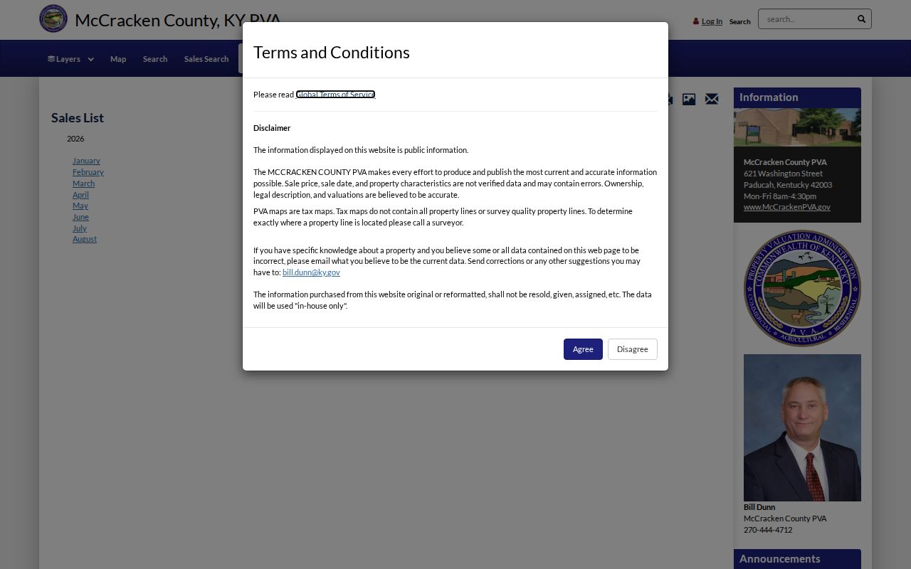
The image identifies the property-search route, while ZIP-wide fields remain unverified and should not be promised.
A situs address is the physical parcel location. A mailing or tax address is where the bill goes and may be a post-office box or another county. Neither alone proves residence. The deed's legal description is the durable key when postal labels change.
Paducah Voter Data by ZIP
Kentucky's SBE-84 voter-data request offers mailing labels arranged alphabetically, by household street, or by household ZIP. It also has county and precinct scope controls. Access is limited to listed qualified candidates and political or public-question committees, with an OTHER oath choice that should not be read as automatic public eligibility. The form imposes no-commercial-use and no-resale terms.
The Kentucky registration statistics page publishes counts by county, district, precinct, and month. It is not a person list.
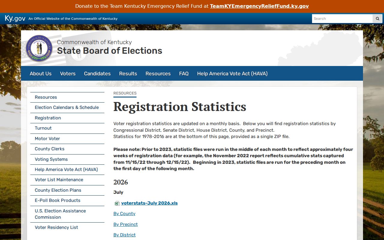
The captured statistics source can show geographic totals, while a named voter record follows separate lookup, eligibility, privacy, and request rules.
For an individual registration check, Kentucky's Voter Information Center matches legal first name, last name, date of birth, and optional last four SSN digits. It has no county or ZIP field in the inspected form. Safe at Home may substitute a program address, and no search should try to reconstruct a protected physical location.
Paducah ZIP and City Boundaries
A postal city name is a delivery label. It does not settle whether a parcel lies inside Paducah's legal boundary. MAP~GIS publishes government boundaries, addresses, property lines, transportation, utilities, and routes. City mapping material also points to a city-limits address checker, though its exact fields were not captured. Confirm boundary status there or with city staff instead of reading it from a ZIP alone.
- ZIP
- A postal code used to sort and route mail.
- ZIP+4
- A more precise routing code for a delivery segment or group.
- ZCTA
- A Census statistical shape that approximates ZIP geography but is not a USPS delivery boundary.
- PO-box ZIP
- A code or form used for mail received at post-office boxes.
- Unique ZIP
- A code assigned to one high-volume organization, when USPS creates one.
- Carrier route
- The set of addresses served along one postal delivery route.
Paducah neighborhood names add a third layer. Downtown, Lowertown, Northside, Southside, Fountain Avenue, River Oaks, and other mapped communities are useful search context, but they are not interchangeable with ZIPs or parcel lines.
MAP~GIS names many more local areas, including Jefferson Street, Clayshire, Carson Park, Walter Jetton, Farley Place, Cornell, Patton Park, Forest Hills, Cherokee, Wallace Park, Country Club, Valley Road, Fairfield, Conrad Heights, Heather Hills, and Pines. A resident may use one of these familiar area names while USPS uses Paducah and a base ZIP. City planning may use another boundary, and the PVA will key the land to a parcel. Keep each label in its own field rather than forcing a neighborhood into a postal boundary.
Bridge Old Paducah ZIP Addresses
A historical address may fail USPS validation because the house number, street form, delivery route, or city boundary changed. Paducah's original 1830 plat covered twelve blocks between Oak and Fourth, Clark and Jefferson, and the river. Use that grid, an old city directory street section, Sanborn maps, deed legal descriptions, and nearby cross streets to bridge the mismatch.
Paducah's Sanborn run covers 1906 through July 1950 on 80 sheets. It can show a street name, number, building footprint, use, and lot setting. MAP~GIS and PVA can then relate the old block to the present parcel. The official sources did not yield an exact street-renaming or annexation-year table, so do not assign a change date without a direct record.
The river edge, floodwall, pump stations, old grid, rail corridors, and later subdivisions create overlapping ideas of place in Paducah. A deed may describe a lot and block, a directory may print an old street number, a tax card may use a situs address, and a postal record may supply a newer ZIP+4. Match the legal description and nearby cross streets before deciding that two differently written addresses refer to different properties. Historic aerial layers listed by the PVA, including 1938, 1950, 1952, 1964, 1981, 2001, and 2008, can show physical change, but they cannot identify an occupant.
Note: Keep both the old address wording and the modern standardized form in every Paducah research note.
Limits of a Paducah ZIP Lookup
A ZIP code directory answers postal geography questions. It does not reveal every resident, determine legal ownership, prove city residency, or show a protected address. Official sources each answer a smaller question: USPS handles delivery form, PVA and GIS handle parcel context, the County Clerk holds recorded instruments, and election officials control voter records.
Use only lawful personal, family-history, civic, or property research purposes. Verify a name with the custodian and a second source. Do not publish sensitive identifiers, attempt to bypass access limits, or use a ZIP search to stalk, harass, or harm anyone.