
Walk a Paducah Street
A sound Paducah street directory search moves from place to record, not from a map label straight to a claim about a person. Begin with the situs, meaning the physical location of the parcel. The McCracken County Property Valuation Administrator, or PVA, can connect that site to a parcel, current owner, mailing address, sale history, structure facts, and other property details. The deed then supplies the legal description and title trail. Voter data and library directories can support a resident connection, but each has limits and a date attached.
- Standardize the street number, suffix, and unit, then search PVA records by address. Record the situs, owner, mailing address, parcel ID, and legal description separately.
- Open the same segment in the PVA parcel map or MAP~GIS. Work parcel by parcel and save cross streets, while treating mapped boundaries as approximate.
- Use the McCracken County Clerk deed index to confirm title. Follow the legal description and source-of-title reference instead of trusting a street number alone.
- Check permits, code cases, or lawful voter material for dated address evidence. An applicant, contractor, or registered voter is evidence of a role, not a full household.
- For earlier years, match the address in library directories, census schedules, Sanborn maps, and dated PVA images. Keep the year beside every result.
The result is a worksheet, not a roster. It should show which source supplied each name, which address field it used, and when the record was made. That discipline keeps a street-by-street search useful even when a parcel was split, a number changed, or the person named in a filing lived elsewhere.
Paducah Address Keys Explained
Three address keys control most Paducah street records. The situs is the physical property location used by maps, permits, and street searches. The mailing or tax address is where the PVA sends a bill; it may be a post-office box, another state, or an address used by a trustee. The legal description identifies the land by lot, block, subdivision, metes and bounds, or a prior deed reference. It can survive a changed street number.
- Parcel
- A numbered assessment unit connecting the map, tax roll, and property card.
- Situs address
- The physical location, which may differ from the owner's mailing address.
- Plat
- A recorded map showing subdivision lots, blocks, streets, and easements.
- Criss-cross directory
- A dated directory arranged by street and house number.
The PVA warns that GIS lines are approximate. Exact legal dimensions come from the deed and plat. A mismatch is a prompt to compare records, not a reason to merge the three address fields.
Search Paducah Parcels by Address
The McCracken County PVA genealogy guidance says its property workflow may show the owner, mailing address, purchase date and price, previous owner, parcel lines and size, structure facts, permit history, photographs, and sale or assessment history. Qpublic is the online target, but its live interface was blocked during research. Exact field labels should not be guessed. The PVA also offers phone and counter help at 621 Washington Street, Suite 105, at (270) 444-4712.
| Verified route | Input | Useful result | Limit |
|---|---|---|---|
| Qpublic search | Owner name or address | Owner, sale, structure, and photo categories | Live labels not verified |
| Qpublic map | Address or parcel | Parcel context and historic imagery | Boundary is approximate |
| PVA phone or office | Defined parcel | Staff-assisted owner and sale research | Ask which copy is needed |
| Written request | Specific records | Inspection or copies | Form fields apply |
The official McCracken parcel map is the map entry point for a Paducah street directory search.
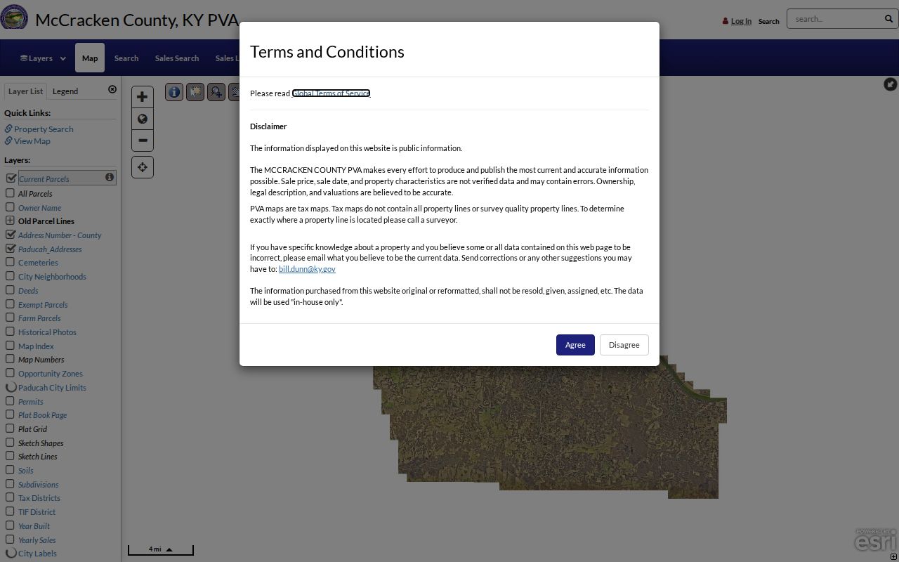
The captured page identifies the official map route before owner and deed facts are checked in their source records.
McCracken PVA Street Evidence
A property card can contain far more than a name. Transcribe the parcel identifier, situs, mailing address, current ownership, sale date and price, assessment history, structure size and year, permit links, and any photograph. January 1 ownership controls the tax bill, so the listed tax name can lag a later transfer. Homestead information may support an owner-occupancy theory but does not prove residency.
The PVA search guidance describes online, phone, and office routes.
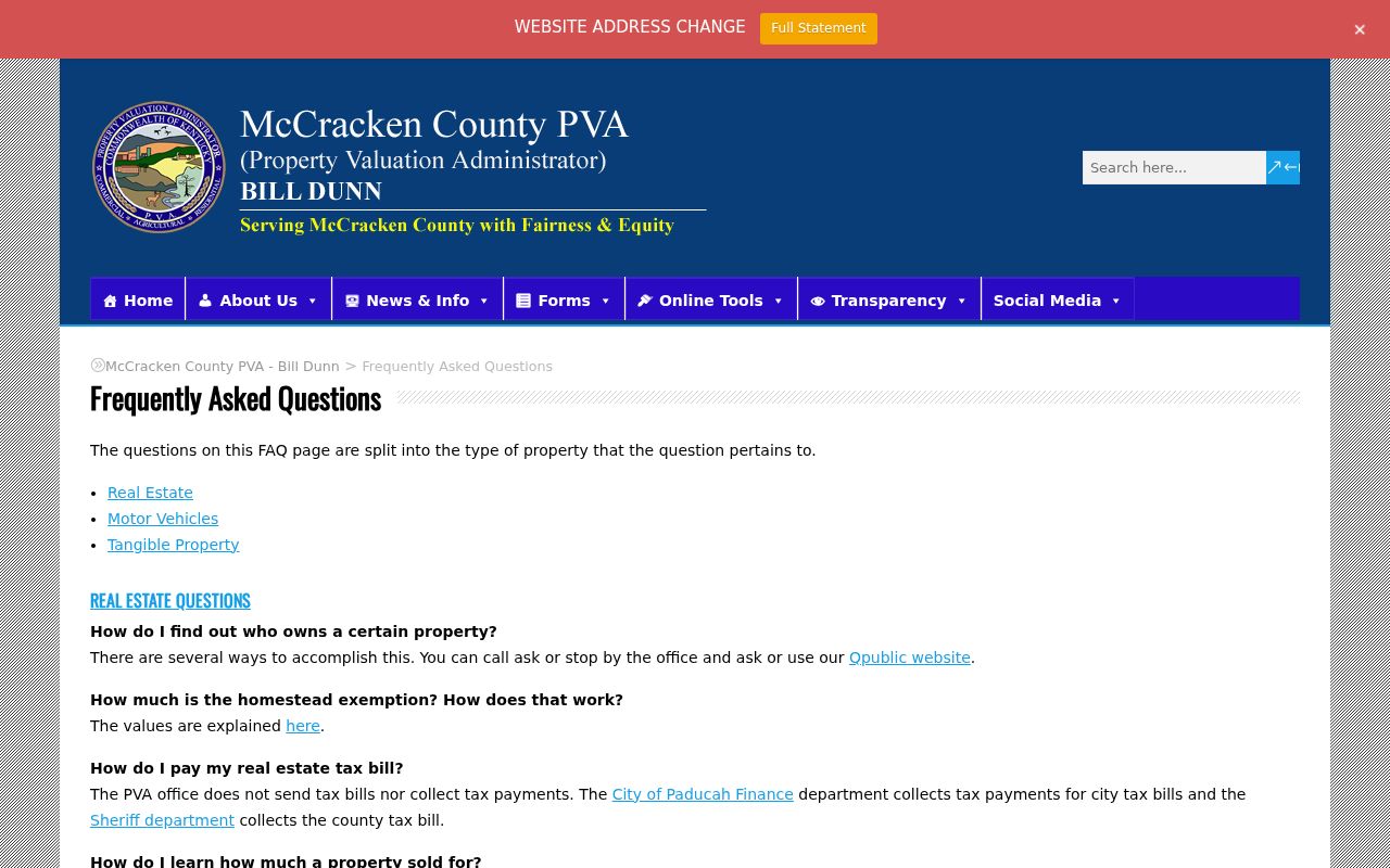
It directs researchers to deeds for exact dimensions and offers a process to correct an address or other field.
The PVA ownership research page places parcel data in a family and address research workflow.
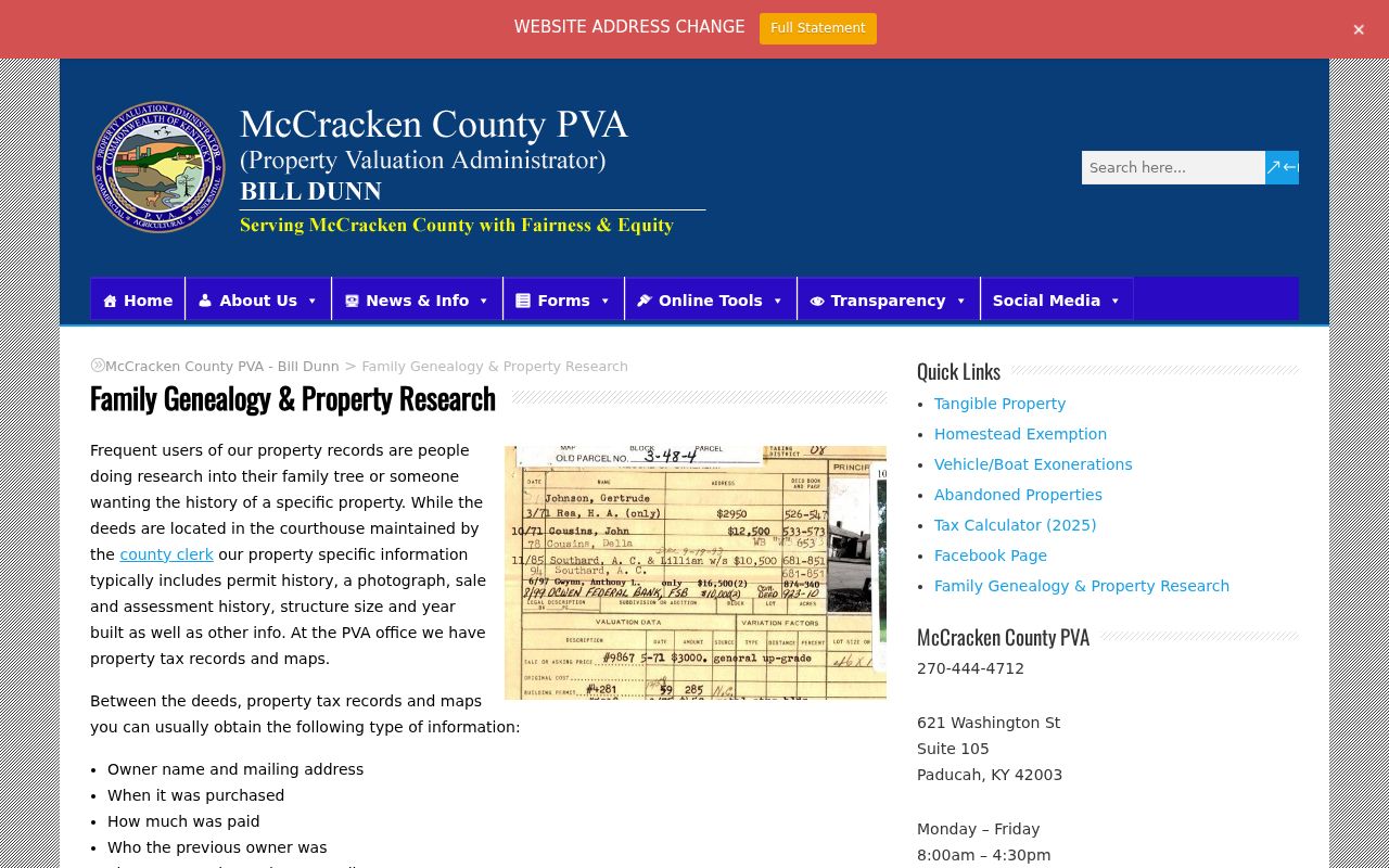
Its field range makes the parcel a bridge between a modern street and older title evidence, while keeping owner and occupant distinct.
Paducah Street Records Compared
Several McCracken custodians accept an address, parcel, legal description, or street-linked request. Each answers a different question. Property rolls concern assessment and title clues, deeds record title instruments, permits concern work at a site, and directories provide dated household evidence. Combining them is stronger than treating one source as a present-day street roster.
| Record Set | Keeper | What It Shows | Access |
|---|---|---|---|
| PVA parcel card | McCracken PVA | Owner, situs, mailing address, sale, structure | Qpublic, phone, office, request |
| GIS map | PVA and MAP~GIS | Parcels, roads, boundaries, dated imagery | Public viewers |
| Deed or plat | County Clerk | Title parties, legal description, easements | eCCLIX, vault, KDLA, library |
| Voter material | Clerk and SBE | Lawfully released registration fields | VIC or restricted SBE-84 |
| Permit or code case | City of Paducah | Project, applicant, inspection, status | EnerGov or request |
| Historic directory | McCracken library | Dated occupant or street evidence | 1859 to present with gaps |
The parcel ID joins map and assessment records. The legal description joins deeds across time. The street number links permits and directories, but can fail after a change. Keep all three keys in the worksheet.
Deeds Along a Paducah Street
The McCracken County Clerk records deeds, mortgages, liens, plats, easements, correction deeds, wills, and related instruments. Begin with the current PVA owner and sale date, then search that owner as grantee, meaning the buyer or recipient. Read the grantor, or transferor, and source-of-title citation. Repeat with the prior deed. Lot and block references are more stable than a modern number.
Online access runs through eCCLIX, whose terms and county coverage must be checked at sign-up. Earlier or unavailable items require the Clerk's Records Vault, a narrow open-records request, the library, or KDLA microfilm. KDLA's deed inventory covers 1825 through 1995. No exact McCracken online cutoff was published.
Copies are listed at $0.50 per page, a full-page plat at $5, and certification at $5 plus $0.50 for each extra page. Call the records line, (270) 448-1540, to verify access. Note: A deed proves a recorded interest in land; it does not name every occupant.
Paducah Permits by Street
Paducah's EnerGov portal permits public searches without an account. Research confirms permit, plan, inspection, status, fee, attachment, and code-case concepts, but not every live field or coverage year. Use an address or project identifier, then verify each person's role. A contractor tied to five sites is not a resident of all five.
The city's planning applications page starts official permit research.
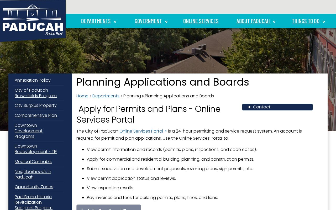
The captured page links an address inquiry to city planning records without turning a project contact into an occupant.
The online portal help page explains public access.
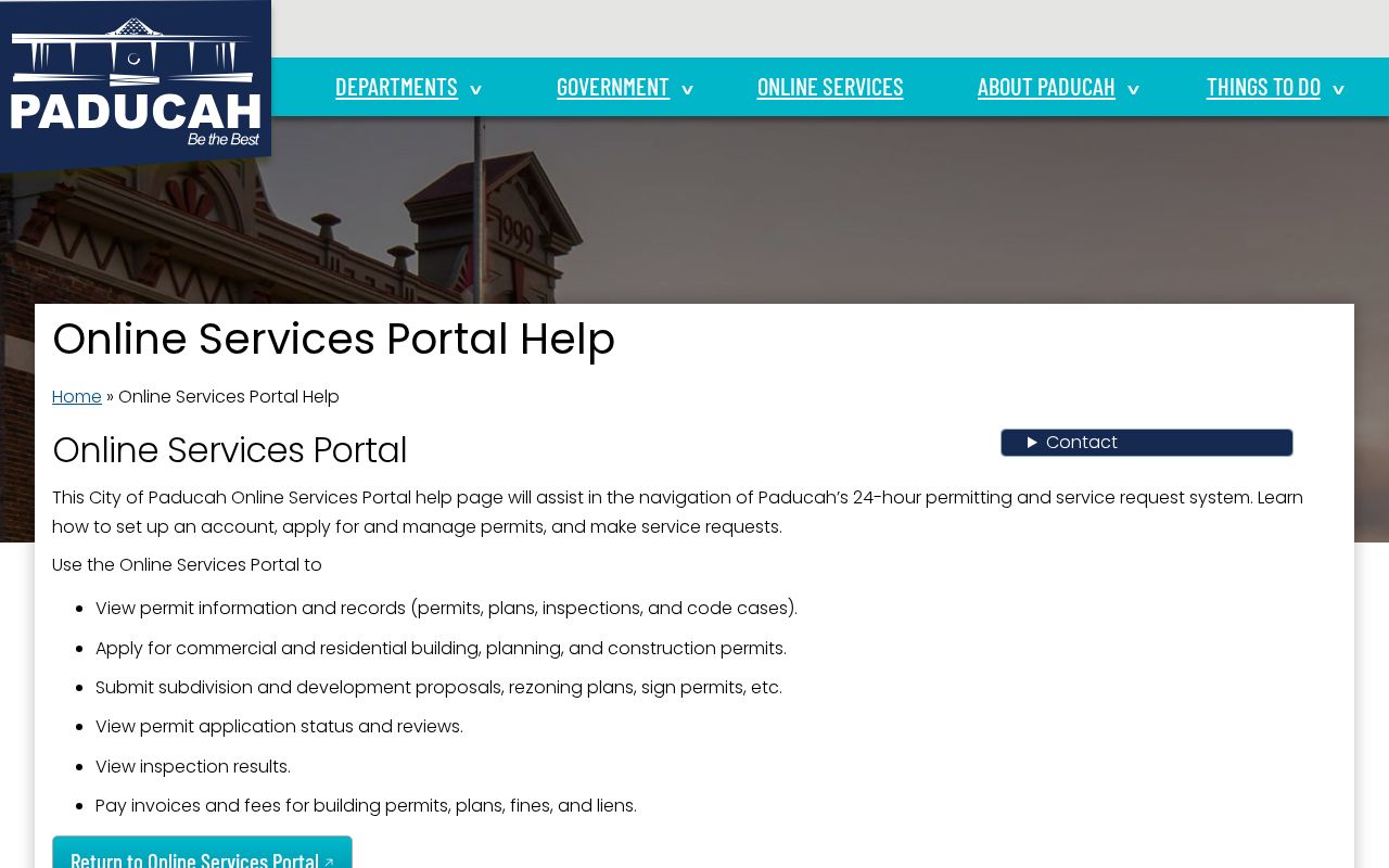
This fallback matters when a portal search stalls. Code Enforcement can also route a request at (270) 444-8522.
Paducah Streets Across Time
The PVA street-name index contains 1950s tax assessor photos. Its genealogy material also lists 1906 Sanborn maps and aerial layers from 1938, 1950, 1952, 1964, 1981, 2001, 2008, and later. They show whether a building existed and how a lot changed. They do not identify a resident on sight.
Open the PVA historic photo search with the period street name.
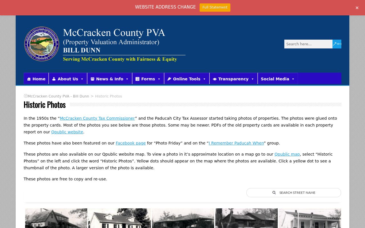
The captured index can bridge a property card and a dated directory entry. The PVA describes copies and reuse as free.
Paducah's 1937 flood covered more than 90 percent of the city, and about 27,000 people evacuated. The floodwall followed from 1939 through 1949. That context can explain a changed structure or displaced household, but no reviewed source proves a specific county book was destroyed.
Paducah's Twelve-Block Grid
The 1830 original plat is a strong geographic key for downtown street research. A Kentucky Historical Society marker describes twelve blocks bounded by Oak and Fourth, Clark to the south, Jefferson to the north, and the river to the east. An old deed inside that frame may rely on a lot, block, or cross street rather than a number used today.
When an address will not validate, preserve its spelling and year. Compare the original plat, legal description, Sanborn sheet, directory street section, cross streets, and PVA image. Research found an annexation-history map but no verified street-by-street renumbering table. Document the bridge instead of claiming a date.
The Paducah directory book collections add dated household evidence after the parcel is fixed.
Paducah Maps and Voter Limits
The Paducah-McCracken MAP~GIS gallery publishes maps for government boundaries, addresses, property lines, transportation, utilities, routes, and Street View. City technology staff support both local and county mapping, so overlapping layers do not always have the same legal scope. Locate a street segment, note parcel IDs and visible addresses, and then verify those facts through PVA and deed records. City map pages warn that the displays are illustrations, not site-specific legal surveys. Research did not confirm exact click, buffer, measure, or export controls, so those functions should not be promised.
Voter records require a different approach. Kentucky's public Voter Information Center searches one person by legal first name, last name, and date of birth, with the last four digits of the Social Security number optional. It has no street field. Street-order data described by 31 KAR 3:010 can include name, address, age code, party, gender, ZIP, and five-year voting history, but an SBE-84 request has eligible-recipient, scope, format, no-commercial-use, and no-resale limits. The State Board of Elections and County Clerk are the proper access channels.
Protected addresses remain protected. Safe at Home may substitute a mailing address in voter material, and KRS 116.095 requires Social Security numbers to be redacted. A name found in one dated voter source can support a carefully stated match, but it cannot turn the Paducah street directory into a complete household list.
Paducah Street Directory Limits
A Paducah street directory cannot supply a complete current household roll. The PVA names owners, not all occupants. GIS draws approximate lines, and a permit may name an applicant or contractor. Kentucky's Voter Information Center requires legal first name, last name, and birth date, so it is not a street roster. A street-order voter file has eligibility, format, no-resale, confidentiality, and lawful-use rules under KRS 116.095 and 31 KAR 3:010.
Safe at Home may replace a protected physical address. Historic directories also have gaps and represent one publication date. The sound conclusion is narrow: a person owned a parcel on a stated date, appeared in a dated directory, or filed a named permit.
Lawful use. Use Paducah address records for legitimate personal research, property history, genealogy, and civic inquiry. Never use them to stalk, harass, intimidate, or harm anyone.